Find Your Next Adventure
We’re travel nuts and love visiting new places. We’ve used our experience to help you find your next adventure. We’ll show you where to go, when to visit, where to stay, and what to pack.
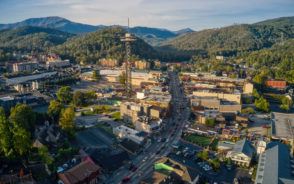
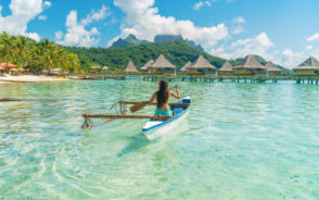
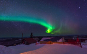
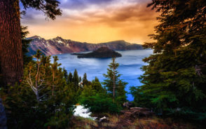
Where to Go
What to Pack
Our Favorite Trip
Visual Stories